
Search results
Characteristics
Quick search
489 results
Region
Length
Characteristics
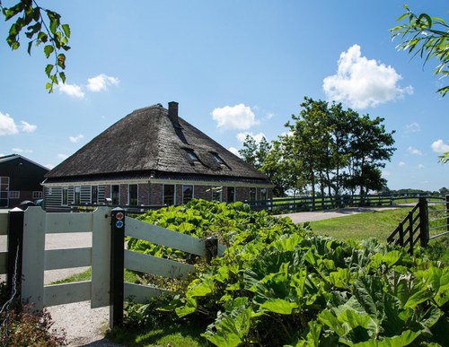

Tolke Route (blue)
The Tolke Route runs through the old mound landscape south of the town, along former tramways, partly unpaved country and dyke roads, canal-side paths and mound tracks. The route is waymarked with blue arrows. This route was featured as the ‘Circular Walk of the Month’ in July 2021, in a
8.38 km- (16)
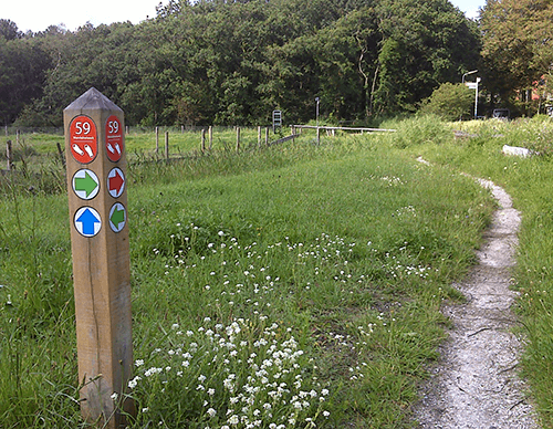

Haringhuizer Route (green)
The Haringhuizer Route runs through the open south-eastern side of the town to the attractive linear village of Haringhuizen, with its 15th-century church, along Muggenburgerweg and through the Slikvenpolder. The route is waymarked with green arrows.
8.41 km- (4)
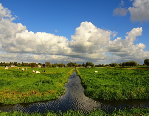

Barsingerhorn Route (purple)
The Barsingerhorn Route runs through the open polder east of the town, along country lanes, a grass dyke and a former tramway to the restored tram station of Barsingerhorn. The route is waymarked with purple arrows.
9.19 km- (4)
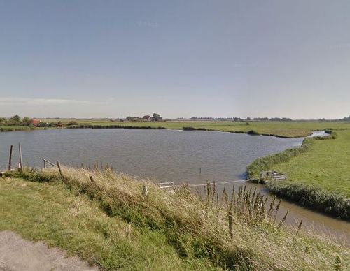

Neskaag Route (red)
The Neskaag Route runs through the northern part of the town and the marine clay polder of Neskaag, along the Stolpenkanaal path and old country lanes. Outside the breeding season, the Westfriese dyke can be followed from the Keinsmerwiel down to a hand-operated ferry crossing to the Varkenspad,
10.97 km- (8)

Neskaag Route (red)
The Neskaag Route runs through the northern part of the town and the marine clay polder of Neskaag, along the Stolpenkanaal path and old country lanes. Outside the breeding season, the Westfriese dyke can be followed from the Keinsmerwiel down to a hand-operated ferry crossing to the Varkenspad,
10.97 km- (2)

Nollen Route (purple)
The longer Nollen Route (purple) is also rich in water. You walk along the Beverkoog embankment and beside the Alkmaar (Omval)–Kolhorn Canal. The open landscape contrasts beautifully with the greenery of the Nollenstrook further west. Dogs are not permitted. No dogs allowed.
2.31 km- (0)

Neighbourhood Park Route (blue)
The Neighbourhood Park Route (blue) passes Berenkoog and plenty of water. Along the edge of the Nollen Oost housing estate, you walk to De Nollen neighbourhood park, an ideal habitat for frogs and herons. Towards the west, the park becomes higher and drier. Butterflies flutter among its flower-rich
1.63 km- (0)

Park Strip Route (red)
The Park Strip Route (red) partly follows the footpaths at Berenkoog and runs through the park strip. This route passes Hortus Alkmaar.
4.23 km- (0)

Westerhout Walk (red)
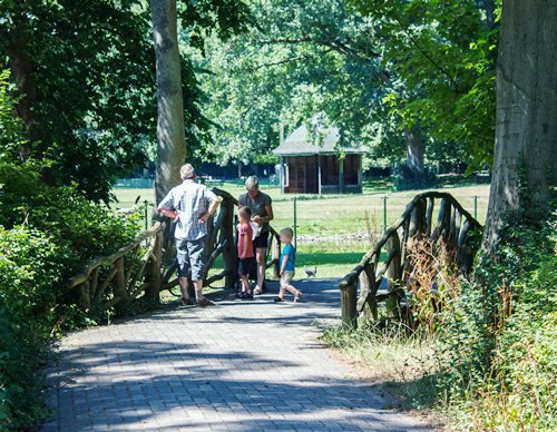
The Westerhout Walk (red) is a short walk through Westerhout Park and past Molen van Piet.
2.56 km- (1)

Lottery and Canal Route (yellow)
The Lottery and Canal Route (yellow) heads towards Bergen via the Loterijlanden, then follows Kogendijk towards the North Holland Canal. King William I had the canal dug in the early nineteenth century to promote trade and industry.
6.81 km- (3)