
Search results
Characteristics
Quick search
489 results
Region
Length
Characteristics
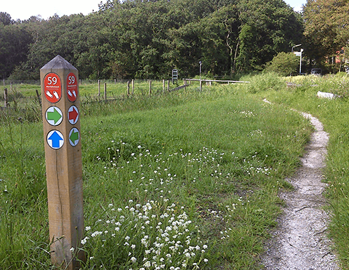

Green route from starting point Petten
The green route runs along the Spreeuwendijk through the wooded Pettemerduinen and continues along the Zijperzeedijk.
4 km- (1)

Blue route from starting point Petten
The blue route runs along the Pettemer Zeewering and past the ‘Kust. Zand tegen Zee’ information centre. It continues for a considerable distance along the beach, over shell paths and through the wet dune valleys of Het Korfwater.
6.72 km- (7)
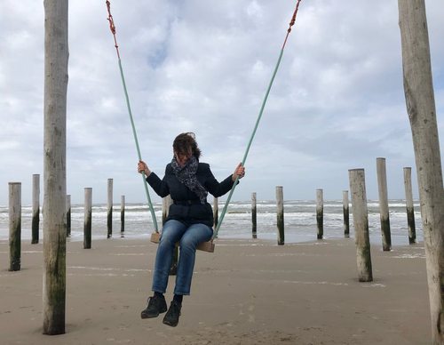

Orange route from starting point Petten
The orange route turns onto the unpaved Hazedijk, the ring dyke of the Hazepolder. At marker 90, the beach at Palendorp is well worth a short stop. This striking artwork consists of 160 posts arranged in the shape of ten houses and a church, recalling the old village of Petten, long since lost to
4.15 km- (1)

Red route from starting point Petten
The red route runs along the imposing Hondsbossche Zeewering and the Oude Schoorlse Zeedijk, a grass dyke that winds around the Abtskolk, rich in birdlife, a remnant of a breach in 1570. At marker 90, the beach at Palendorp is well worth a short stop. This striking artwork consists of 160 posts
7.86 km- (8)

Orange route from starting point Burgerbrug (orange)
The orange route runs together with the blue route but returns along the Ruigeweg. The route is waymarked with dark orange arrows.
3.51 km- (0)

Blue route from starting point Burgerbrug (blue)
The blue route runs along the quiet western side of the Groote Sloot to the ‘De F’ windmill. A farm track belonging to the Ruijter family leads to the Noordhollandsch Canal. After the winding Westfriese Zeedijk, the route runs back into the polder on the eastern side, along a farm track
8.48 km- (5)

Red route from starting point Burgerbrug (red)
The red route follows the eastern side of the Groote Sloot, then runs along a farm track straight across the polder towards the Westfriese Zeedijk. It returns along the Burgerweg to the start.
3.78 km- (0)

Burghorn Route (purple)
The purple Burghorn Route runs around the marine clay polder of Burghorn, along the medieval Valkkogerdijk with its grass revetments, the Nieuwedijk, and the Hemkewerf, a dwelling mound inhabited since the 2nd century AD. The route is waymarked with purple arrows.
10.29 km- (2)

Oudedijk Route (orange)
The orange Oudedijk Route runs along the Oudedijk, through the Halerpark, and along a former tramway and an old country road, both now cycle paths. The route is waymarked with orange arrows.
5.04 km- (5)
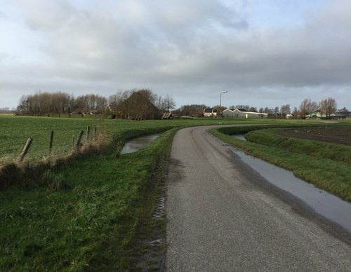

Schagerwiel Route (red)
The red Schagerwiel Route runs through the open south-western edge of the town: past the pool, along the Tolkerdijk, and back past two old dwelling mounds, the Cornelissenwerf and Avendorp. The route is waymarked with red arrows.
4.54 km- (2)