
Search results
Characteristics
Quick search
489 results
Region
Length
Characteristics
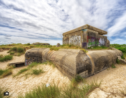

Kennemer Lake Route (green)
The Kennemer Lake Route (green) lives up to its name because you walk through the beautiful natural surroundings of Kennemer lake. The lake was created in 1990 to compensate for the nature lost during the construction of the marina, the boulevard, the flats, hotels and car parks in IJmuiden. It is
4.53 km- (3)
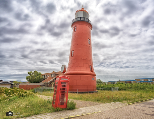

Harbor Route (red)
The Harbour Route (red) in IJmuiden links various highlights: the Marina Seaport, the high Semaphore dunes with beautiful views, Kennemer lake and the Bunker Museum. There’s an impressive view of the sea lock complex and the Forteiland (island fortress). The coastal fort on the island was built
4.38 km- (0)
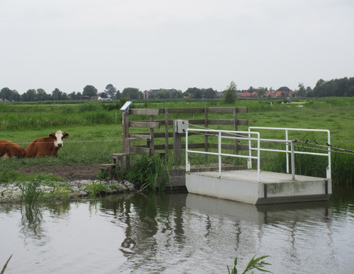

Ferry Route (purple)
The Ferry Route (purple) is also special: walkers have to pull themselves across on two hand ferries. The route further follows a farm track between the ribbon developments of Etersheim and Warder. No dogs allowed. This route is closed during the breeding season (15 March–15 June).
4.6 km- (1)
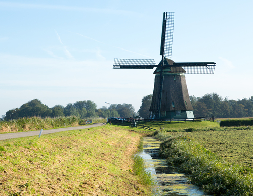

Heerhugopad (blue-red)
The Heerhugopad (blue-red) runs to Obdam in three stages. In the footsteps of Lord Huygen, it takes you to hidden places unknown even to many Heerhugowaard locals.
26.37 km- (4)


Zand tegen Zee Route
A detailed and informative description is available for the Zand tegen Zee Route. The route runs along the Pettemer Zeewering and its recently formed foredunes, and along the Hazedijk of the Zijpe. It continues for a considerable distance along the beach, over shell paths and through the wet dune
9.01 km- (9)
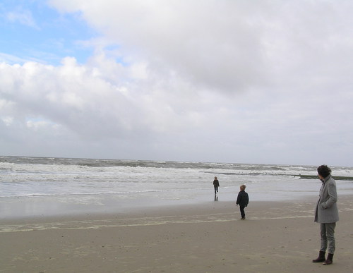

Green route from starting point St Maartenszee
The route runs around the Zwanenwater nature reserve, managed by Natuurmonumenten (Society for Nature Monuments), as far as the lively dune village of Callantsoog, with many places to eat and drink, then continues along the Zuidschinkeldijk (a dyke reinforced by wind-blown sand from 1553) and
11.93 km- (5)
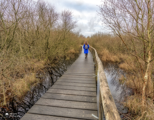

Orange route from starting point St Maartenszee
The route initially follows the same direction but turns off before the Derde Korfwater, then returns across the beach and through the Ketelduinen and their dune valleys. This route was featured as the ‘Circular Walk of the Month’ in February 2022, in a feature written by the Westphil Wandelt
5.71 km- (9)


Purple route from starting point Sint Maartenszee
The purple route runs along shell paths past wind-shaped trees to the wet dune valleys of Het Korfwater. It then returns along the northern edge of the Pettemerduinen, managed by Staatsbosbeheer (Dutch Forestry Commission) over the Zijperzeedijk and past the Energy Research Centre of the
5.45 km- (4)
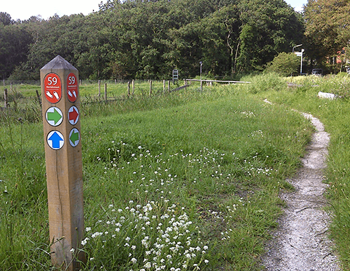

Botgat circular walk
The green Botgat circular walk runs through an area that was military land until 2005 and has since been returned to nature by Landschap Noord-Holland. The wet dune valley to the south is now open to walkers. ‘Botgat’ refers to the remains of soldiers killed during the British invasion of 1799
2.09 km- (0)

Orange route from starting point Groote Keeten
The orange route follows the Botgat circular walk, then runs along the overgrown Helmdijk and the Noordschinkeldijk, before heading into the polder along the grass verge beside the mill ditch and continuing on asphalt beyond the small pumping station. It returns to the start along the Wegje van
7.99 km- (4)