
Search results
Characteristics
Quick search
426 results
Region
Length
Characteristics
 (deels) gesloten")
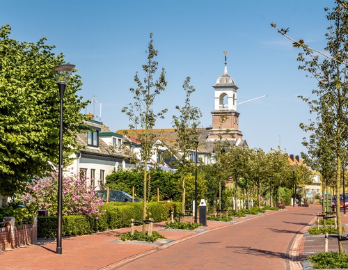
Dorpzicht Walk (yellow)
The Dorpzicht Walk (yellow) was created at the initiative of the local village committee and is a beautiful route for villagers, tourists and birdwatchers. The nature reserve along the old Roggesloot tidal creek consists of sparse grasslands rich in flowers. Walkers are treated to the sight of
4.96 km- (0)
 (deels) gesloten")
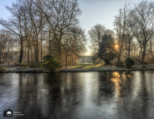
Buitenplaatsenpad Zuid-Kennemerland
The buitenplaatsenpad is a unique connection between historical estates. As you walk, you'll go back in time. The path takes you past centuries-old trees and noble houses, while you enjoy the beautiful nature at the outposts. Accompanied by countless birds and maybe even a curious deer or a
18.52 km- (1)
 (deels) gesloten")
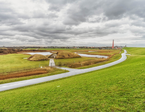
Rondje Golfbaan (red)
The Rondje Golfbaan (red) follows Genieweg behind the defensive wall of the Stelling van Amsterdam. Troops used to be moved behind this guarded public road. To the south of the fort lies a battery dug into the dike where the lighter artillery was positioned. No dogs allowed.
4.62 km- (1)
 (deels) gesloten")
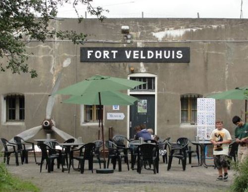
Veldhuis route
The Veldhuis route (orange) runs from Fort Veldhuis to the Broekpolder district of Heemskerk. The community centre – the Citadel – is built in the form of a fort. Part of the route follows a farm track. No dogs allowed.
4.42 km- (0)
 (deels) gesloten")
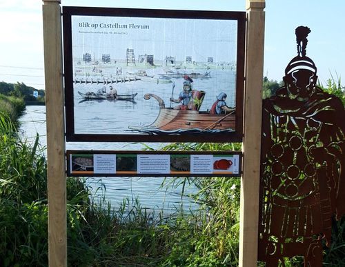
Batoroute (yellow)
The longer Batoroute (yellow) also takes you past the site of the Romans harbour fort, with ten listening points along the way. Legionnaire Bato will regale you with stories about the past and present environment, excavations, the Frisian Revolt and a bridge over the Oer-IJ.
5.38 km- (3)
 (deels) gesloten")
Rondje Castellum (red)
The short Rondje Castellum trail (red) will guide you along an accessible route to the historic site where the harbour fort on the Oer-IJ once stood.
3.52 km- (1)
 (deels) gesloten")
Fort Kijkduin Route (purple)
The purple Fort Kijkduin Route runs along the sea dyke past the red lighthouse Lange Jaap (1878) to Fort Erfprins with its green ravelins and also passes the Liniedijk. The route is waymarked in both directions with purple arrows. This route was the circular walk of the month in December 2020.
7.46 km- (2)
 (deels) gesloten")
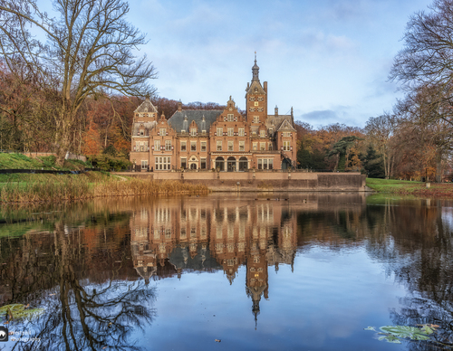
Cruytbergh Route (orange)
The Cruytbergh Route (orange) in Santpoort-Noord takes you to the Burgemeester Rijkenspark, named after Roelf Gerrit Rijkens, a former mayor of Velsen (1920-1932). On the other side of the track, you walk to Landgoed Duin en Kruidberg estate. You walk through the ornate garden with its pond and
5.49 km- (5)
 (deels) gesloten")
Zwanenburg route (blue)
The Zwanenburg route (blue) leads you through Zwanenburg and Halfweg. Along the way you will see the old sugar factory, the Zwanenburg walking park with petting zoo, and the new park on the outskirts of the village. On the Amsterdam side of the ring canal you look out over the Osdorper Bovenpolder
5.7 km- (2)
 (deels) gesloten")
Park Walk (red)
The Park Walk (red) is a short walk through the newer recreation area in Zwanenburg. The designers have created a kind of English landscape garden for the 35 ha park. A thousand trees have been planted in the park to compensate for the construction of the High Speed Line (HSL). You can walk on
1.76 km- (0)