
Choose your starting point
The starting points are easily accessible by car and usually also by public transport. Parking is available and you will usually find good catering facilities nearby. At each starting point you will find an information board showing the nicest walking routes in the immediate vicinity. You can choose from an array of circular walks, with distances ranging from 2 to 12 km, all signposted in two directions with coloured arrows.
Prefer a longer walk?
Then a themed route is ideal.
Characteristics
Quick search
182 results
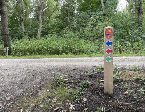

Starting point Houtrak Halfweg
The Houtrak recreational area near Halfweg has been around for more than 50 years now. The mature forest is part of the much larger Spaarnwoude. The semi-open area is bisected by large ponds and
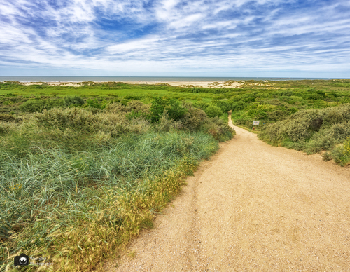

Starting point IJmuiden aan Zee
IJmuiden aan Zee is associated with Kennemer beach, the marina, the Kennemerboulevard and the dune area behind it with the Kennemer lake. All three routes that start here pass through it. The
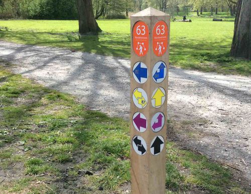

Starting point Ilpendam
The dam built here in the peat river De Ilp in the 12th century was supposed to protect the hinterland to the west from the encroaching water coming from Purmermeer lake to the east. A village of
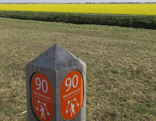

Starting Point Julianadorp aan Zee
There was a time when the North Sea had free rein in the mudflat behind this area, known as Het Buitenveld or Koegras. This changed in 1612, when the Zanddijk was completed and the sand dyke grew
Starting point Kleine Vennep / Nieuw-Vennep
The traditional Kleine Vennep farm has been there since 1928 and is a national monument. Along with its surroundings, it forms an estate classified under the Nature Conservation Act. The estate will
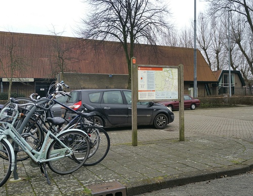

Starting point Koedijk
Koedijk was originally a ribbon village along the Noordhollandsch Kanaal (Great North Holland Canal). This is the starting point of four walks. The Oosterdijk Route (green) runs on both sides of

Starting point Koevlak Overveen
Zuid-Kennemerland National Park is a walker’s paradise and that certainly applies to the Kennemerduinen (dunes) of the PWN water company. The Kennemerduinen in Overveen was a water extraction area
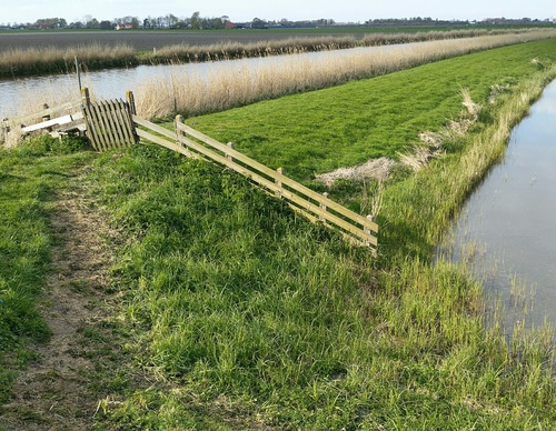

Starting Point Kolhorn
Kolhorn, meaning ‘cold corner’, lies at a bend in the medieval Westfriese Omringdijk. It was an old fishing harbour, already mentioned around 1300 as a transhipment point for seaweed and later
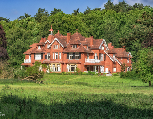

Starting point Koningshof Overveen
The Landgoed Koningshof estate in Overveen is actually a park forest as it was conceived at the beginning of the 20th century by garden architect Leonard Springer. Inspired by the English landscape
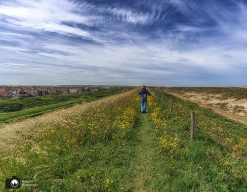

Starting Point Leipolder
Three routes start here: the blue route runs south to Starting Point: Hondsbossche Zeewering, while the orange and red routes run north to Petten. Petten has been washed away by storm surges several