
Choose your starting point
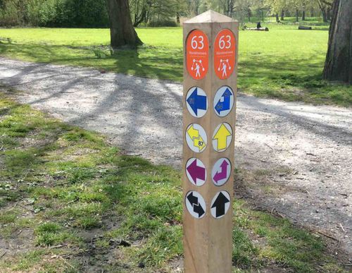
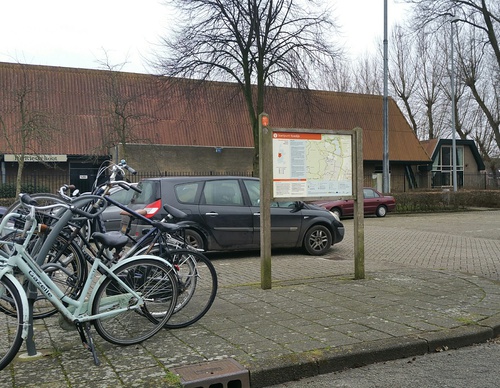
The starting points are easily accessible by car and usually also by public transport. Parking is available and you will usually find good catering facilities nearby. At each starting point you will find an information board showing the nicest walking routes in the immediate vicinity. You can choose from an array of circular walks, with distances ranging from 2 to 12 km, all signposted in two directions with coloured arrows.
Prefer a longer walk?
Then a themed route is ideal.
Characteristics
Quick search
139 results


Starting point Houtrak Halfweg
The Houtrak recreational area near Halfweg has been around for more than 50 years now. The mature forest is part of the much larger Spaarnwoude. The semi-open area is bisected by large ponds and
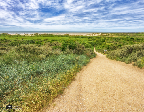

Starting point IJmuiden aan Zee
IJmuiden aan Zee is associated with Kennemer beach, the marina, the Kennemerboulevard and the dune area behind it with the Kennemer lake. All three routes that start here pass through it. The

Starting point Ilpendam
The dam built here in the peat river De Ilp in the 12th century was supposed to protect the hinterland to the west from the encroaching water coming from Purmermeer lake to the east. A village of

Starting point Kleine Vennep / Nieuw-Vennep
The traditional Kleine Vennep farm has been there since 1928 and is a national monument. Along with its surroundings, it forms an estate classified under the Nature Conservation Act. The estate will

Starting point Koedijk
Koedijk was originally a ribbon village along the Noordhollandsch Kanaal (Great North Holland Canal). This is the starting point of four walks. The Oosterdijk Route (green) runs on both sides of

Starting point Koevlak Overveen
Zuid-Kennemerland National Park is a walker’s paradise and that certainly applies to the Kennemerduinen (dunes) of the PWN water company. The Kennemerduinen in Overveen was a water extraction area

Starting point Koningshof Overveen
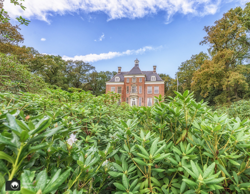
The Landgoed Koningshof estate in Overveen is actually a park forest as it was conceived at the beginning of the 20th century by garden architect Leonard Springer. Inspired by the English landscape

Starting point Leyduin Vogelenzang
Landgoed Leyduin estate is located on one of the old beach ridges behind the dunes, which were already inhabited in the early Bronze Age (around 2000 BC). The Counts of Holland hunted there in the

Starting point Lisserbroek
The Lisserbroek was already dry before the reclamation of the Haarlemmermeer in the middle of the 19th century. The subsoil is an offshoot of the dune region, which made it firmer and higher than

Starting point Midden-Herenduin Driehuis / Santpoort-Noord
As with Heerenduinen, Midden-Herenduin, located between Driehuis and Santpoort-Noord, was the property of the Lords of Van Brederode for centuries. The dune on the inland edge was called the