
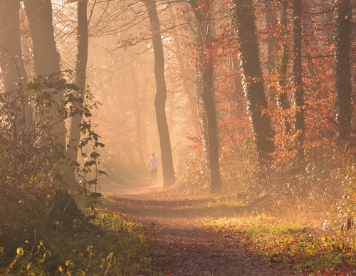
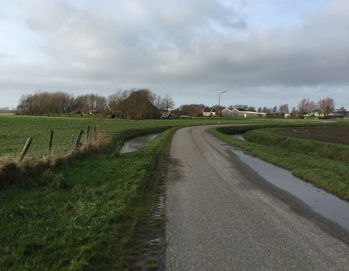
Choose your starting point
The starting points are easily accessible by car and usually also by public transport. Parking is available and you will usually find good catering facilities nearby. At each starting point you will find an information board showing the nicest walking routes in the immediate vicinity. You can choose from an array of circular walks, with distances ranging from 2 to 12 km, all signposted in two directions with coloured arrows.
Prefer a longer walk?
Then a themed route is ideal.
Characteristics
Quick search
167 results


Starting point Quaatrebas Badhoevedorp
In just 10 years, Badhoevedorp has been completely turned around. Until April 2017, highway traffic rushed right through the village. Something that is unimaginable now. A lot has been built in a

Starting point Reinaldapark Haarlem
The trendy Reinaldapark is named after a former mayor of Haarlem. What was once a landfill has been cleverly transformed into an attractive neighbourhood park with winding paths around the Fuikplas.

Starting Point Robbenoordbos
The chroniclers of the Wieringermeer polder, reclaimed in 1930, were clear: its north-eastern corner was of little agricultural value. The soil was too wet and of poor quality. The advice was simple:
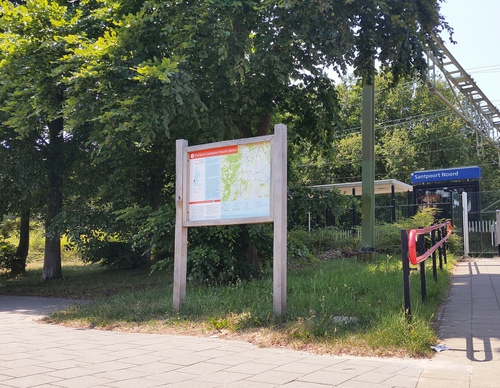

Starting point Santpoort-Noord Station
Santpoort-Noord is surrounded by greenery. To the west lies the Landgoed Duin en Kruidberg estate with its impressive manor house and the ornate garden, created by landscape architect Springer. Duin
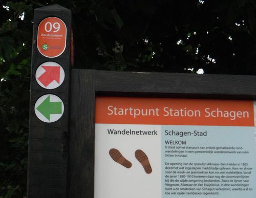

Starting Point Schagen Station
The opening of the Alkmaar–Den Helder railway line in 1865 revived the somewhat sleepy market town. Transport to and from the weekly and annual markets became much easier. Between the 1880s and

Starting Point Schagerbrug
Schagerbrug developed shortly after the reclamation of the Zijpe (1597) at a crossroads of land and water routes. The houses of farm workers, craftsmen, barge skippers and shopkeepers stood mainly

Starting Point Schagerwiel
The large Schagerwiel breach pool was formed during the major floods of the 12th and 13th centuries, following breaches of the Westfriesedijk in 1170 and 1248. At that time, the dyke turned sharply

Starting Point Sint Maarten
The mound village of Sint Maarten was once known as ‘Hemelrijkshorn’, located on the Zijperwad at the horn or projection of land where the Westfriese Zeedijk and the Valkkogerdijk meet. Until the
Starting Point Sint Maartenszee
Sint Maartenszee is a post-war coastal hamlet. It does not lie directly on the sea but at a junction of the provincial Westerduinweg (N502) and the line of a former works railway used to transport

Starting Point Slootdorp
In Slootdorp, the first permanent houses in the newly reclaimed Wieringermeer (1930) were built in 1931. They replaced the temporary barracks of polder workers and their families in what was then