
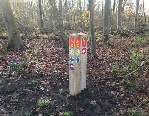
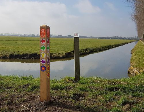
Choose your starting point
The starting points are easily accessible by car and usually also by public transport. Parking is available and you will usually find good catering facilities nearby. At each starting point you will find an information board showing the nicest walking routes in the immediate vicinity. You can choose from an array of circular walks, with distances ranging from 2 to 12 km, all signposted in two directions with coloured arrows.
Prefer a longer walk?
Then a themed route is ideal.
Characteristics
Quick search
139 results

Kleine Poel Starting Point
On the banks of De Poel you will find a primeval landscape of marshes and birch forests that gives a glimpse of Amsterdam’s original ancient surroundings. At that time, the marshy peatland was


Middelpolder Starting Point (tourist transfer point)
The Middelpolder is an area teeming with birds. There are many meadow birds such as lapwings, godwits, curlews, egrets and redshanks. In spring and summer you will nearly always see spoonbills and in

Monnikenweg
Where paths now run through herb-filled meadows and forests, there used to be open dune and heathland in medieval times. A monastery is said to have been located here but its remains have never been

Nes aan de Amstel Starting Point (tourist transfer point)
Nes aan de Amstel is wedged between the Amstel river and the ring dike of the Bovenkerkerpolder. The polder is about five metres below sea level. The land drops down a few metres from the dike. In
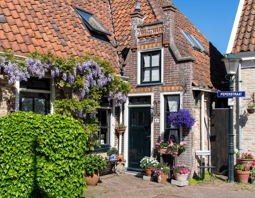

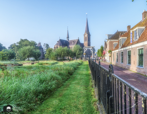
Oosterend
The picturesque village of Oosterend has many historic listed houses. The charming Kerkplein square is surrounded by pretty cobbled streets and alleys with historic facades. Oosterend has

Ouderkerk aan de Amstel Starting Point
Ouderkerk aan de Amstel is located in the Amstelscheg, an open and green area between the built-up area of Amsterdam, and is perfect for walking and cycling. The land at the confluence of the Amstel

Overamstel Starting Point
The former Groot and Klein Duivendrechtsepolder is located in the Amstelscheg, an open area surrounded by buildings and roads, which has been deliberately kept open to provide residents with a green


Paal 17
You can easily reach several Texel dune areas from Paal 17 and a little further along at Ecomare. To the north, you walk straight into the Seetingsnollen, the narrow strip of dunes with tops up to 25


Paal 21
The Staatsbosbeheer’s (Dutch Forestry Commission) De Muy dune area is no longer influenced by the seawater. The Muyplas is a remnant of an old sea channel but a small dike now separates that area

Radarterrein (car park) Starting Point
In the southern part of the Amsterdamse Bos park, nature is allowed more freedom to grow and there is a deliberate choice for less land management. This creates an even richer biodiversity.