
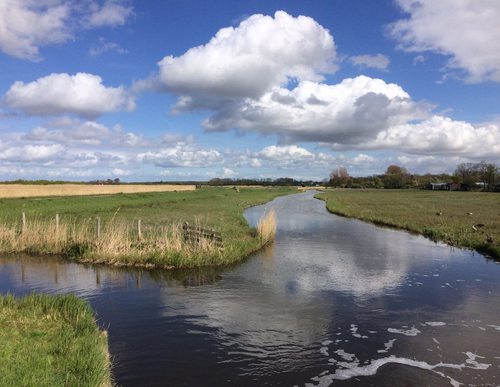
Choose your starting point
The starting points are easily accessible by car and usually also by public transport. Parking is available and you will usually find good catering facilities nearby. At each starting point you will find an information board showing the nicest walking routes in the immediate vicinity. You can choose from an array of circular walks, with distances ranging from 2 to 12 km, all signposted in two directions with coloured arrows.
Prefer a longer walk?
Then a themed route is ideal.
Characteristics
Quick search
139 results


Starting point Basilica of Saint Bavo Haarlem
The Basilica of Saint Bavo is located on the Leidsevaart canal, just outside the centre of Haarlem. The basilica is the largest church in the Netherlands after the St. John's Cathedral in Den Bosch.

Starting point Bennebroek (tourist transfer point)
Bennebroek was probably originally wet peatland ('broek') belonging to a Ben on the Haarlemmermeer bank. On the border of the peat and an old beach ridge, the village first developed in a

Starting point Bleek en Berg Bloemendaal
Zuid-Kennemerland National Park is a walker’s paradise and that certainly applies to the Kennemerduinen (dunes) of the PWN water company in Bloemendaal. The six existing routes are now included

Starting Point Bloemendaal aan Zee (tourist transfer point)
Bloemendaal aan Zee is located at the end of the Zeeweg between Overveen and the coast. The plans for the construction of this road met with a lot of protest 100 years ago. The municipality of

Starting point Bloemendaal Station
Bloemendaal is rich in natural beauty and cultural heritage. Dunes, estates, parks and bits of forest are the green lungs in a fairly urbanised area. When in the middle of the Bloemendaalse Bos

Starting point Breezand
The southern 'Balgzand' mudflat was not reclaimed until 1846, when it was named 'Anna Paulowna', after William II's wife: Anna, daughter of the Russian Tsar Paul I. The first residents of the polder

Starting point Buitenkaag (tourist transfer point)
Buitenkaag is considered to be one of the most beautiful places of the Haarlemmermeer. Located on the Kagerplassen at the southern tip of the polder, you can get a real sense of the vastness. It owes

Starting point Burgerbrug
The village of Burgerbrug was founded immediately after the fourth and final dyking and reclamation of the Zijperwad in 1597. It takes its name from the bridge over the Groote Sloot, the wide central
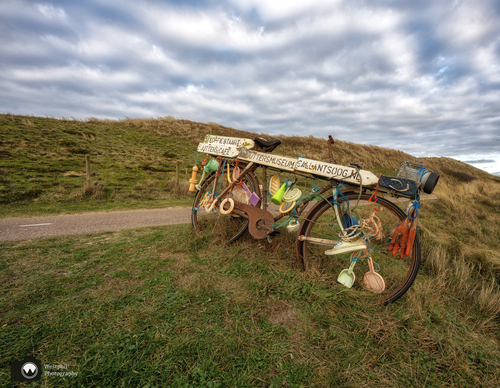

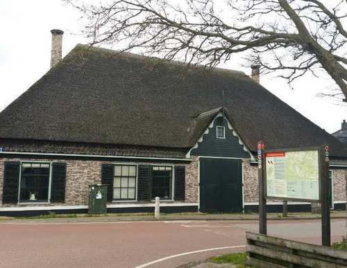
Starting point Callantsoog
Callantsoog has been relocated several times. The first early medieval settlement lay two kilometres further west on a continuous beach ridge, surrounded by crescent-shaped dunes. Storm surges
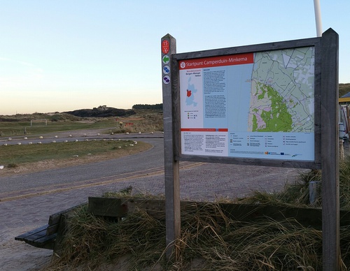
Starting point Camperduin
The dunes between Camperduin and Petten have often been swept away by storm surges. That’s why they constructed the Hondsbossche Zeewering. Men from throughout the region were called in to raise a