
Choose your starting point
The starting points are easily accessible by car and usually also by public transport. Parking is available and you will usually find good catering facilities nearby. At each starting point you will find an information board showing the nicest walking routes in the immediate vicinity. You can choose from an array of circular walks, with distances ranging from 2 to 12 km, all signposted in two directions with coloured arrows.
Prefer a longer walk?
Then a themed route is ideal.
Characteristics
Quick search
182 results
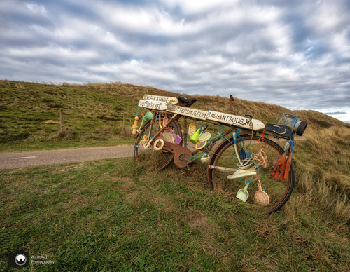

Starting point Callantsoog
Callantsoog has been relocated several times. The first early medieval settlement lay two kilometres further west on a continuous beach ridge, surrounded by crescent-shaped dunes. Storm surges
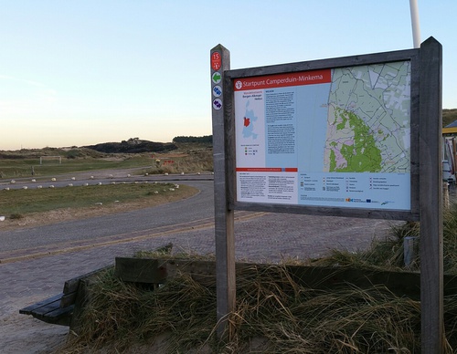

Starting point Camperduin
The dunes between Camperduin and Petten have often been swept away by storm surges. That’s why they constructed the Hondsbossche Zeewering. Men from throughout the region were called in to raise a


Starting point Caprera Bloemendaal
The Landgoed Caprera estate is located on the edge of the Kopje van Bloemendaal, the highest dune top of Zuid-Kennemerland. The walking park on the edge of the Kennemerduinen is part of
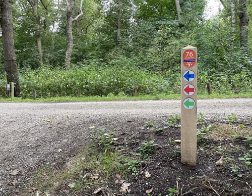

Starting point De Engelenbewaarder Badhoevedorp
Badhoevedorp is named after the Badhoeve, the model farm that the Amsterdam lawyer, mayor and farmer Jacob Amersfoordt founded opposite the bridge at Sloten in 1854. The large farm (200 ha) in the
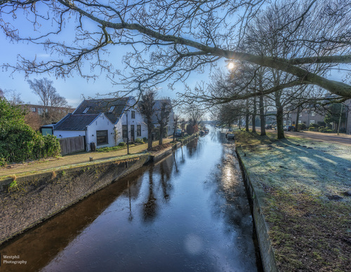

Starting point De Glip Heemstede
De Glip hamlet in Heemstede was known as Princebuurt until the 18th century, apparently after Prince William of Orange. Located near the Haarlemmermeer, it would later be given the name 'De Glip'
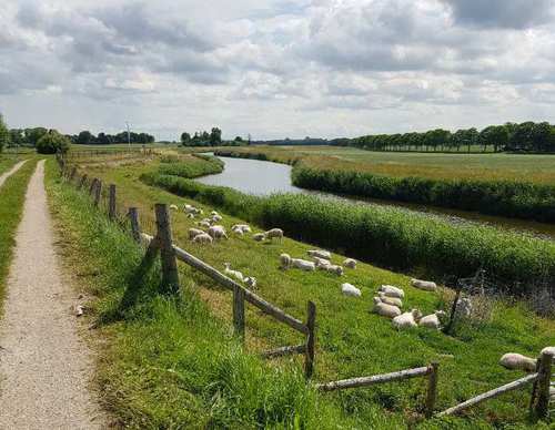

Starting Point De Haukes
De Haukes is an attractive dyke village by an old harbour, where the mail boat from the mainland once docked alongside the fishing boats. Initially, that boat had a long journey: first from Oudesluis
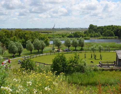

Starting Point De Helderse Vallei
De Helderse Vallei is a nature centre located between De Donkere Duinen woodland, De Helderse Duinen nature area and the Mariëndal recreational area. A lookout tower next to the visitor centre
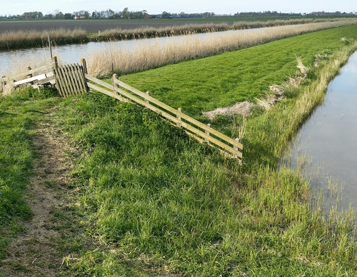
Starting Point De Rijd
De Rijd originated as a peat lake and, before the land consolidation of 1970–1974, formed the southern boundary of the Kostverlorenpolder – a name that suggests it was once a financial loss. In
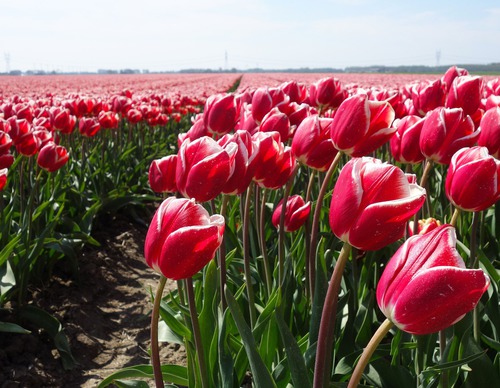

Starting Point De Zandloper
There was a time when the North Sea had free rein in the mudflat behind this area, known as Het Buitenveld or Koegras. This changed in 1612, when the Zanddijk was completed and the sand dyke grew
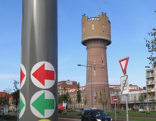

Starting Point Den Helder Station
The Second World War caused devastating damage here. In May 1940, it began with heavy bombing by the Luftwaffe. The Germans then demolished the old town of Den Helder and the seafront on the northern