
Search results
Characteristics
Quick search
358 results
Region
Length
Characteristics
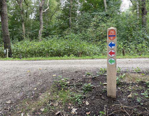
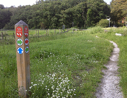
 (deels) gesloten")
Geuzenbos Walk (green)
The Geuzenbos Walk (green) is a walk best done in wellies or high top walking shoes because the grass trail in the Geuzenbos in Halfweg is usually soaking wet. Cattle and horse hooves make a muddy mess of it, but it’s nice to cross this little piece of urban nature. It is still owned by the Port
3.21 km- (0)
 (deels) gesloten")
Bleachers Route (oranje)
The Bleachers Route (orange) extends the Seminary Route along the Spaarne to the historic sand and bleaching canals of Heemstede. From the 16th to the 18th centuries, dune sand extraction and bleaching were important activities in this area. The sand went to Amsterdam for the construction of the
10.61 km- (5)
 (deels) gesloten")
Seminary Route (green)
The Seminary Route (green) leads past the former episcopal seminary, now the College Hageveld in Heemstede. In 1923, this complex with its impressive dome was built on the site of a 15th-century monastery. Walking along the Ringvaart, the route connects the Spaarne with the beating heart of
6.47 km- (6)
 (deels) gesloten")
Spaarne Route (orange)
The Spaarne Route (orange) also brings you to the top of the Schoteroog. Then you walk further into Haarlem on the banks of the Spaarne. Windmill De Adriaan and the Gravestenenbrug are a couple of highlights along the route. The Zomervaart and the Fuikvaart lead back to the Veerplas via the
13.84 km- (3)
 (deels) gesloten")
Mooie Nel Walk (black)
On the long Mooie Nel Walk (black) you can see the wide water of the Binnen Liede and the Spaarne from all sides. Even from above, from the former landfill. You walk from the Veerplas near Haarlem towards the village of Spaarndam and back via Penningsveer.
10.81 km- (2)
 (deels) gesloten")
Haarlemmerliede Walk (blue)
The Haarlemmerliede Walk (blue) is a long walk that connects the church of Spaarnwoude with the rural village of Haarlemmerliede and with the Veerplas lake at Penningsveer. You’ll mainly walk on cycle paths. One of the two historic church paths is actually a small path through the meadows, and it
9.83 km- (2)
 (deels) gesloten")
Belvedere Walk (yellow)
The Belvedère Walk (yellow) follows the banks of the Mooie Nel near Haarlem. Where Spaarne and Liede meet, you climb the Schoteroog, the old landfill with a magnificent panoramic view.
4.97 km- (1)
 (deels) gesloten")
Westhoff Route (blue)
The Westhoff Route (blue) on the border of Spaarndam and Halfweg is a somewhat longer walk through the eponymous and somewhat older forest and along the lake of the same name. You also walk along a piece of old seawall.
7.81 km- (2)
 (deels) gesloten")
Houtrakkerbeemden Walk (yellow)
The Houtrakkerbeemden Walk (yellow) on the border of Spaarndam and Halfweg goes through a relatively young nature reserve. The grassland floods annually with brackish water. Spoonbills like to come here to forage, especially because river shrimp and sticklebacks thrive in the brackish creek. Please
4.69 km- (4)
 (deels) gesloten")
Northern Tour Route (green)
The Northern Tour Route (green) on the border of Spaarndam and Halfweg is a nice walk to get to know the Noorderbos. You walk through the Voedselbos forest and along an overgrown orchard.
3.47 km- (0)